FEATURES
FEATURE 01
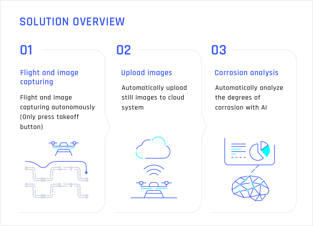
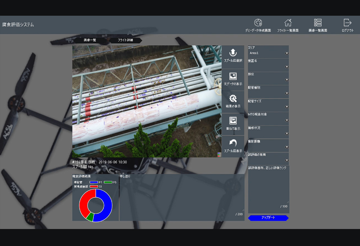
AI-BASED IMAGE ANALYSIS AND DAMAGE LEVEL JUDGEMENTEnables AI evaluation on the cloud systemAI based image analysis software that runs on the cloud provided by Accenture, Inc. enables to judge the damages automatically. (e.g. pipe corrosion, oil tank leaks, etc.) This system provide a complete range of services, from flight photography to image analysis and inspection reports.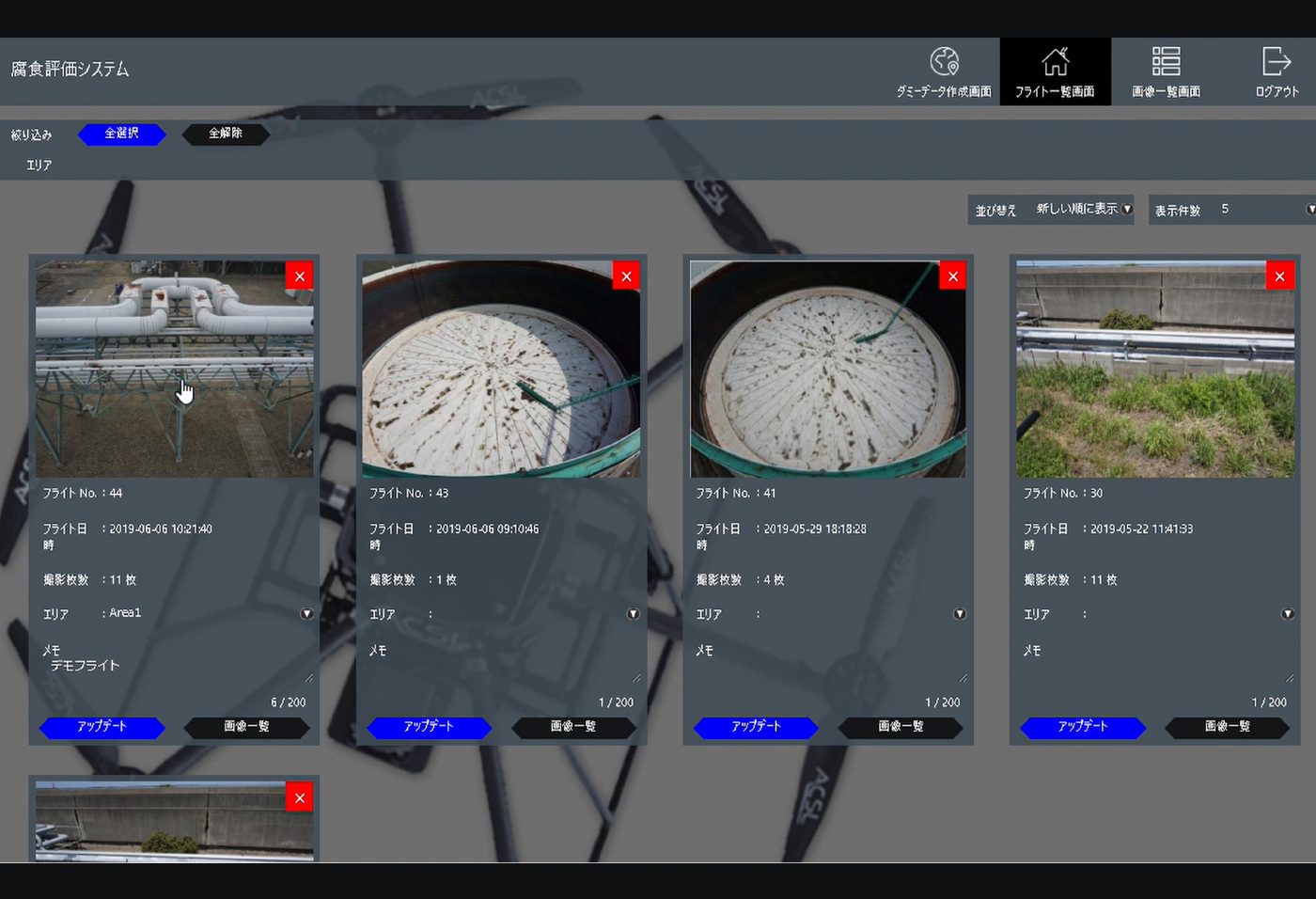
FEATURE 02
AUTOMATICALLY STILL IMAGE UPLOADAutomatic upload of captured still images to the cloudThe system automatically upload the images captured by the drone to the cloud after flight. Automatic upload function eliminates to export the still image manually. That allows you to work more efficiently.-
FEATURE 01
AI-BASED IMAGE ANALYSIS AND DAMAGE LEVEL JUDGEMENTEnables AI evaluation on the cloud systemAI based image analysis software that runs on the cloud provided by Accenture, Inc. enables to judge the damages automatically. (e.g. pipe corrosion, oil tank leaks, etc.) This system provide a complete range of services, from flight photography to image analysis and inspection reports. -
FEATURE 02
AUTOMATICALLY STILL IMAGE UPLOADAutomatic upload of captured still images to the cloudThe system automatically upload the images captured by the drone to the cloud after flight. Automatic upload function eliminates to export the still image manually. That allows you to work more efficiently. -
FEATURE 01
AI-BASED IMAGE ANALYSIS AND DAMAGE LEVEL JUDGEMENTEnables AI evaluation on the cloud systemAI based image analysis software that runs on the cloud provided by Accenture, Inc. enables to judge the damages automatically. (e.g. pipe corrosion, oil tank leaks, etc.) This system provide a complete range of services, from flight photography to image analysis and inspection reports. -
FEATURE 02
AUTOMATICALLY STILL IMAGE UPLOADAutomatic upload of captured still images to the cloudThe system automatically upload the images captured by the drone to the cloud after flight. Automatic upload function eliminates to export the still image manually. That allows you to work more efficiently.
SCENE 01
SCENE 02

SCENE 03
The product specifications may change without prior notice.
The product specifications may change
without prior notice.
-
CASE 01
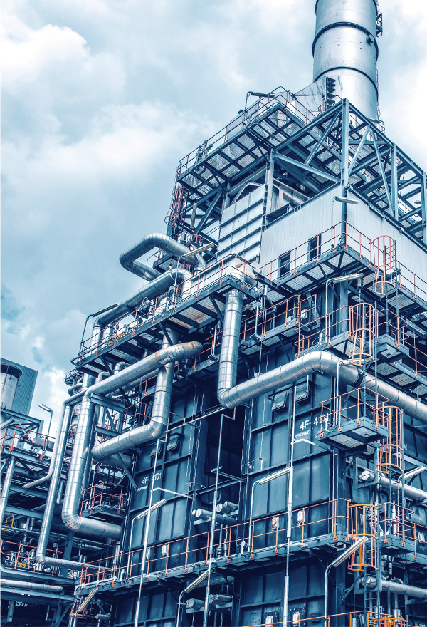
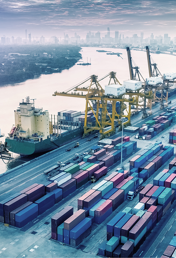
Plant facility regular monitoring using dronesDistance control for plant inspectionVisual SLAM technology can be applied to control drone at a constant distance from inspection target such as pipes and walls. This technology makes it easier to capture images at same angle, allowing inspector to compare the severity of the damage over time.
-
CASE 02
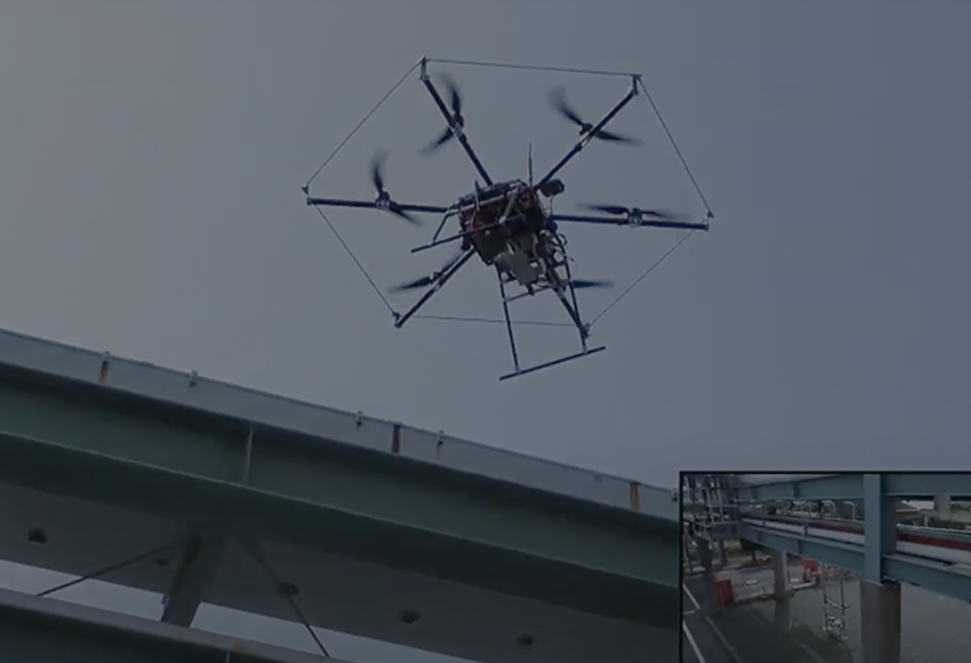
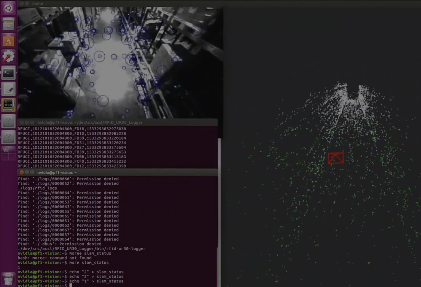
Visual SLAM for GPS-denied environmentVisual SLAM enabling indoor autonomous flightVisual SLAM computes drone position relative to the surrounding environment by extracting feature points and saving them as point cloud. This enables drone to conduct repetitive missions indoor, such as regular inspection of facility, warehouse stock counting, and tunnel inspection.
-
CASE 01
Plant facility regular monitoring using dronesDistance control for plant inspectionVisual SLAM technology can be applied to control drone at a constant distance from inspection target such as pipes and walls. This technology makes it easier to capture images at same angle, allowing inspector to compare the severity of the damage over time.
-
CASE 02
Visual SLAM for GPS-denied environmentVisual SLAM enabling indoor autonomous flightVisual SLAM computes drone position relative to the surrounding environment by extracting feature points and saving them as point cloud. This enables drone to conduct repetitive missions indoor, such as regular inspection of facility, warehouse stock counting, and tunnel inspection.